Behind the E-Ligtas Initiative
Meet the municipal leaders, disaster risk strategists, and spatial data engineers dedicated to protecting every family across Binalbagan through intelligent emergency routing.
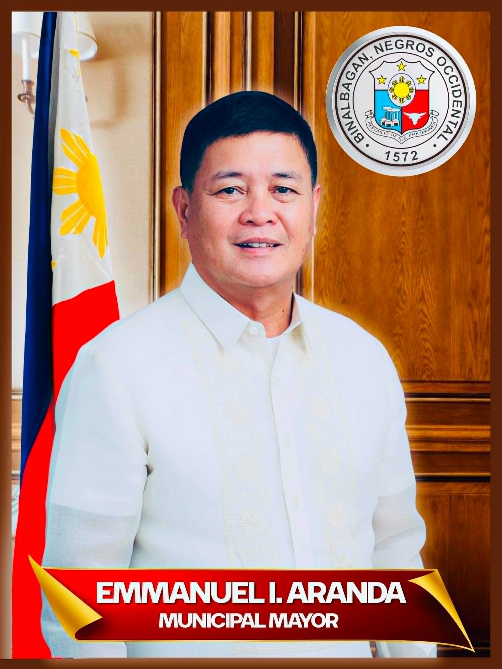
"Safety and security remain our ultimate priority for every Binalbaganon."
"As disasters become increasingly unpredictable, our local governance must adapt with proactive, technology-driven solutions. E-Ligtas Binalbagan stands as a testament to our steadfast commitment to public safety. This platform ensures that reliable evacuation guides, hazard intelligence, and immediate lines of communication are always within your reach when every second counts."
Hon. Emmanuel I. Aranda
Municipal Mayor of Binalbagan"Bridging disaster risk reduction and community readiness through real-time maps."
"We engineered E-Ligtas Binalbagan to eliminate confusion during critical emergencies. The purpose of this application is to provide citizens with instant, accurate directions to the nearest open evacuation center while mapping out hazardous flood, landslide, and lahar zones. By streamlining routing and live shelter tracking, we empower families to make rapid, life-saving decisions."
Engr. Jernie S. Rondin
Local Disaster Risk Reduction Management Officer III
"A digital mandate born out of the necessity for modern disaster resilience."
"Recognizing the vulnerability of our communities during severe weather and natural hazards, the formal issuance for the creation of E-Ligtas was established to bridge municipal policy with direct digital utility. This application ensures that our public safety framework is accessible, transparent, and responsive right in the palm of every resident's hand."
Sir Antonio Pigar III
Key Mandate Issuer for System Creation"Translating spatial data and hazard shapefiles into interactive life-saving routes."
"Building E-Ligtas involved translating complex geographic information system (GIS) layers—including UTM-projected evacuation coordinates, flood susceptibility grids, lahar channels, and tsunami run-up polygons—into a seamless web interface. Through meticulous spatial processing and mapping integration, we ensured that the system delivers precise, reliable navigation when it matters most."
Sir Jobel P. Arellano
GIS Specialist